Narrative-based Historical Timeline of Central WV
About This Folder:
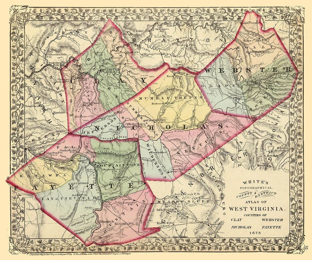
This timeline highlights some of the key events and locations for the area surrounding Bentree, in central WV (specifically Clay, Nicholas, Fayette, Kanawha, and Raleigh Counties).
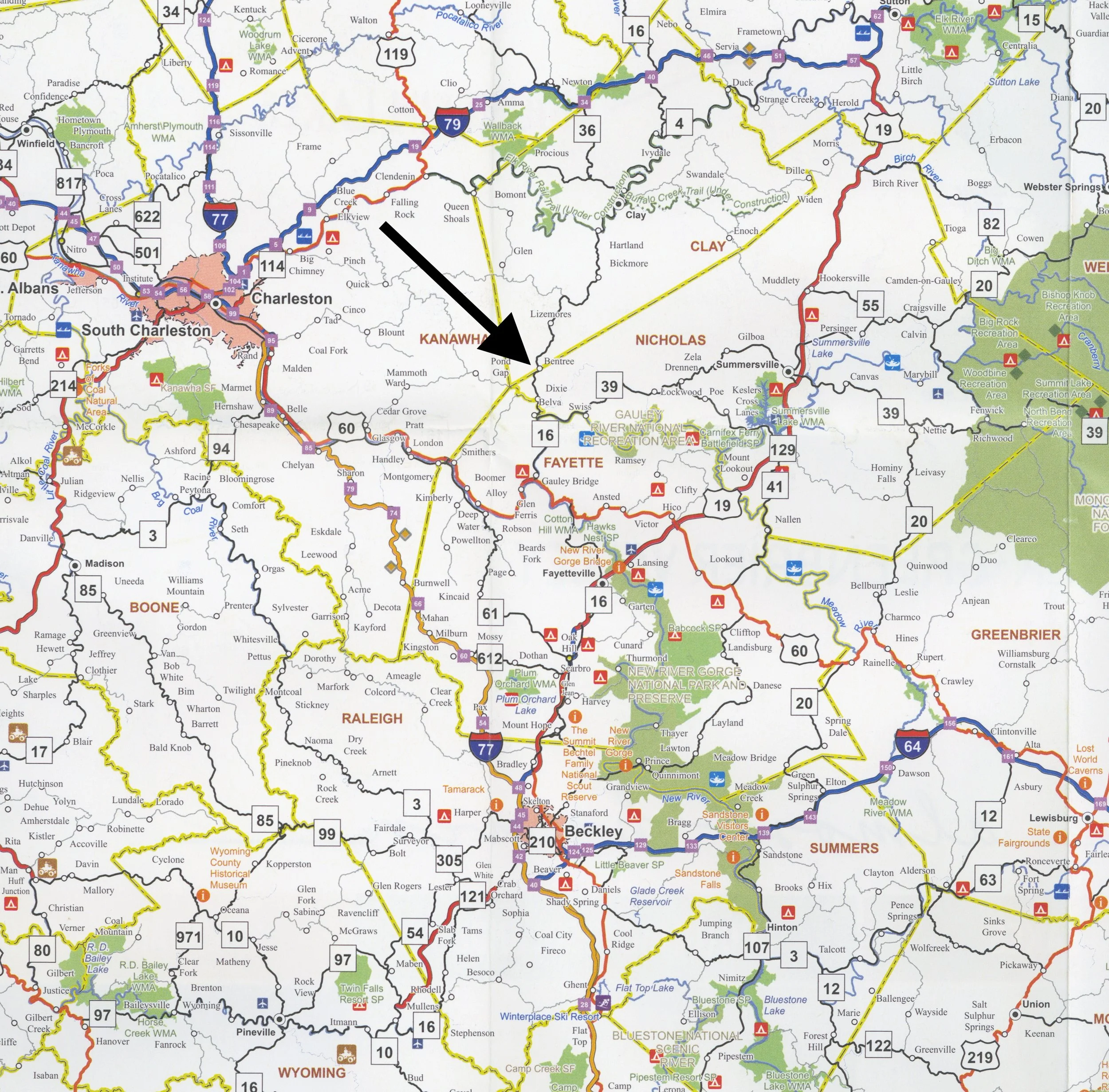
[A recent WV Highway Map is shown for reference.]
1200 – 1700
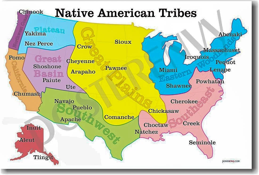
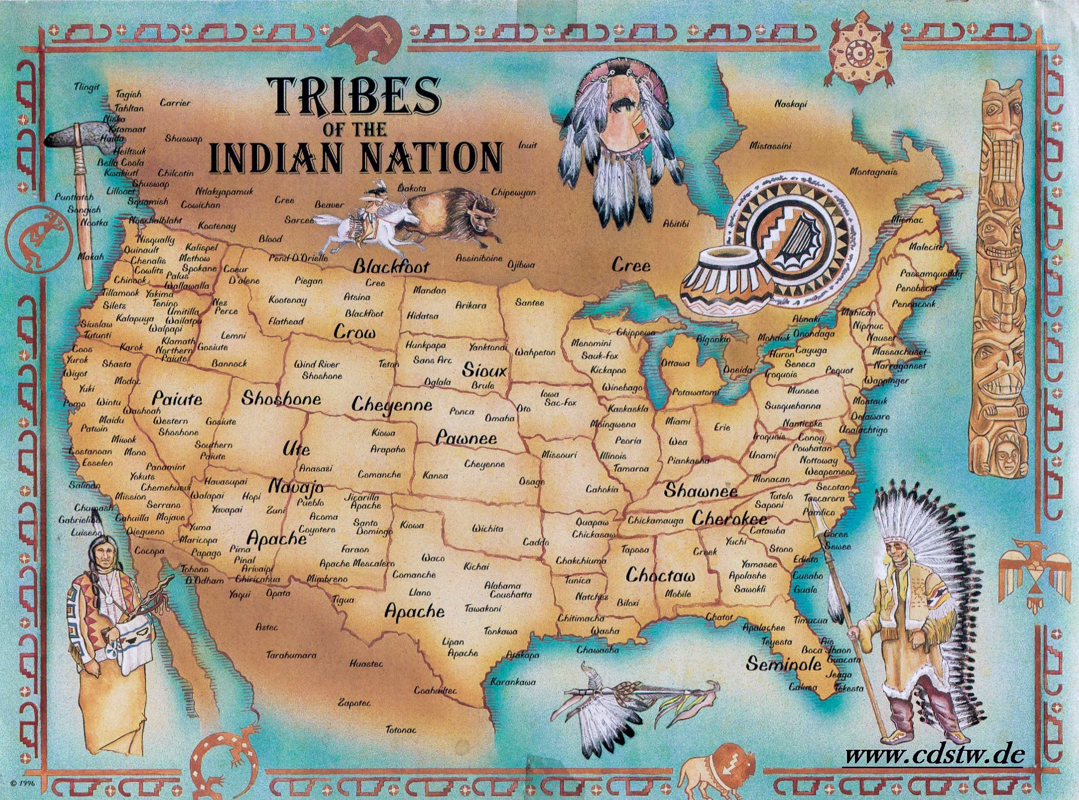
It is believed that the area that is now West Virginia was a mostly unpopulated buffer zone between the Iroquois Indians to the north and the Cherokee Indians to the south. As you can see in the maps below, there were dozens of Indian tribes throughout the country.

1784
The Mason Dixon line was established in 1784, settling the disputed boundary between Virginia & Pennsylvania and Maryland & Pennsylvania. Later hailed as “astonishingly accurate,” it was surveyed by Charles Mason and Jeremiah Dixon.


1790
The Koontz New Road, a rough wagon road built along an Indian trail, was completed between Lewisburg and Charleston. Its route was by muddy Creek, Keeney’s Knobbs, Rich Creek, Gauley, Twentymile, Bell Creek, with side trails down Kelly’s Creek and Hughes’ Creek to the “Boat Yard.”
1795
By 1795, it appeared the Indians had left the area, so more families began settling along the tributaries of the Gauley River.
1800's
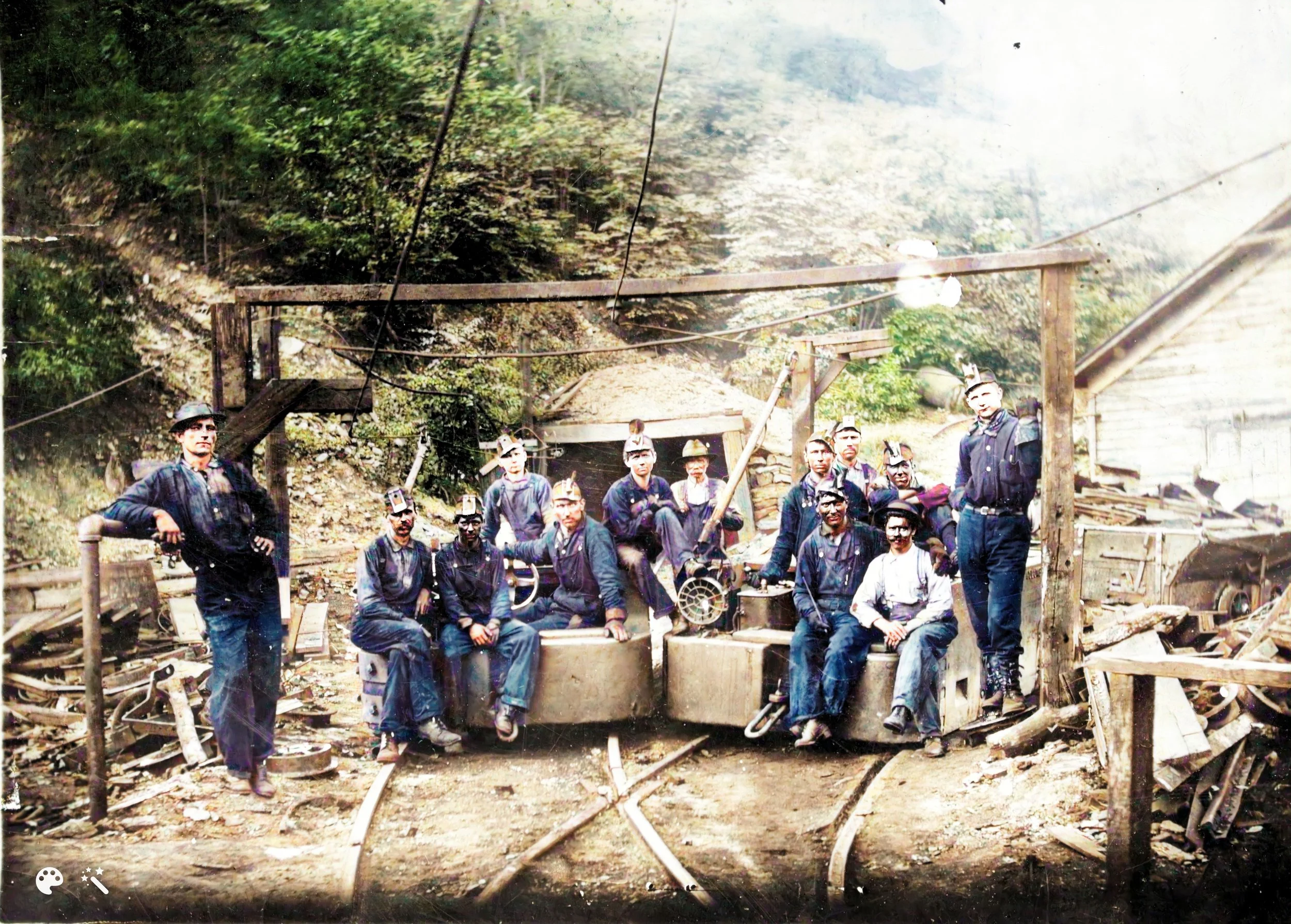
The salt industry in the Kanawha Valley created a demand for wood, and later coal.
1815
Captain James Wilson, boring for salt water, struck the first natural gas well in America.
1815
Last buffalo killed in the Kanawha Valley.
1820
The last elk killed in the Kanawha Valley.
1855-56
The first commercial shipment of coal from Kanawha Valley commenced.
1861
The Civil War battle of Carnifex Ferry was fought.
1863
On June 20, 1863, West Virginia became the 35th state.
1863-1865
George Henry Rider fought in the Civil War, as an enlisted soldier in the Confederate Army. Details of his service can be found in menu tab Kiser/Rider History, folder George Henry Rider & Angeline O'Dell, 1840-1929.
1875 - 1879
By this time, the area (later known as Scotford/Bentree ) was not quite a wilderness, but it was devoid of population. There was a wagon trail (later to become SR16) connecting Gauley Bridge and Lizemores…but there was little else. George Henry Rider (who is my great, great grandfather) settled there sometime between 1875 and 1879—before it had a name. My grandmother, Laura Rider Kiser, said he owned hundreds of acres of land, encompassing all of what would become Scotford/Bentree—including the area where I grew up. He was probably the pioneer settler in the area.
1885
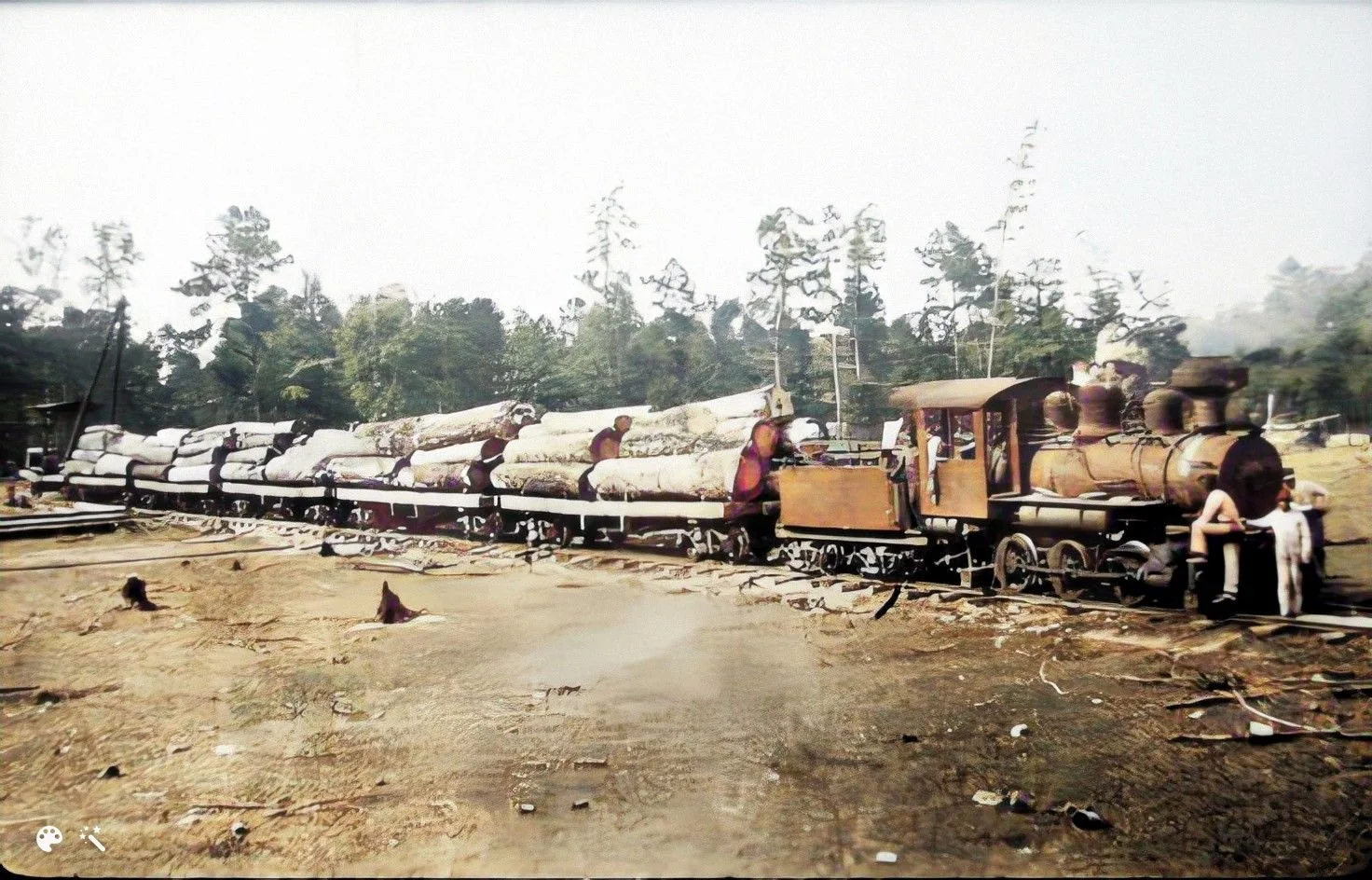
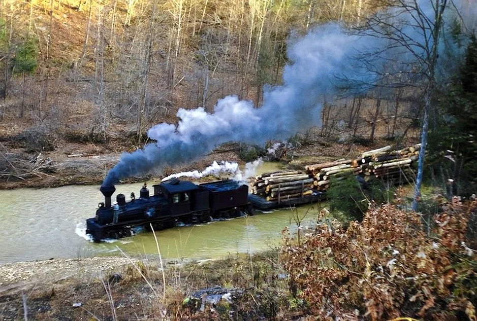
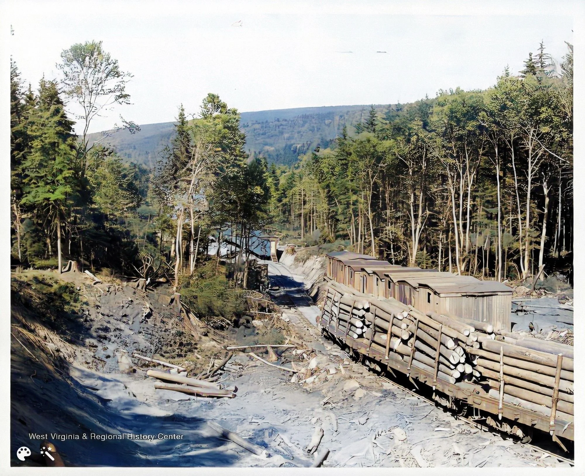
Timber cutting began on a large scale.

1893 – 1894
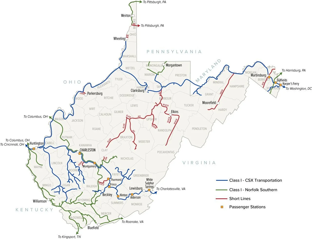
The Gauley Branch of the C&O Railroad was completed, extending from Gauley Junction northward along the Gauley River and up Twentymile Creek to Greendale, a distance of 14.2 miles. This is one of the key events that industrialized the area.
1895 – 1900
The Gauley Branch of the C&O Railroad had a secondary extension from Belva to Scotford (Bentree). It was designated as the Carterboro Branch.
That perhaps explains the town of Carterboro showing up on the 1910 map. I can imagine a person named Carter who perhaps worked for the C&O Railroad naming the community after himself. It could have just as easily been called the Scotford Branch.

1900's
Great expansion of the coal industry took place.


1904
According to Elenora (Bea) Morris, who was the Bentree postmaster from 1962 to 1990, Scotford was granted an official post office in 6/1/1904.
1912
Scotford name changed to Bentree. Theories regarding why the name was changed are provided in the Bentree General Information folder.
1922
The Kanawha and West Virginia Railroad opens a short line from Belva to Swiss, primarily for timbering.
https://www.wvncrails.org/kanawha-and-west-virginia-railroad.html
1926
The New York Central and Chesapeake and Ohio, forced by the Interstate Commerce Commission to pool their resources in the Gauley River area, form the Nicholas, Fayette and Greenbrier Railway.
1929 – 1931
Twenty-eight miles of railway, including two tunnels, were built by the NF&G between Swiss and Nallen.
1970’s
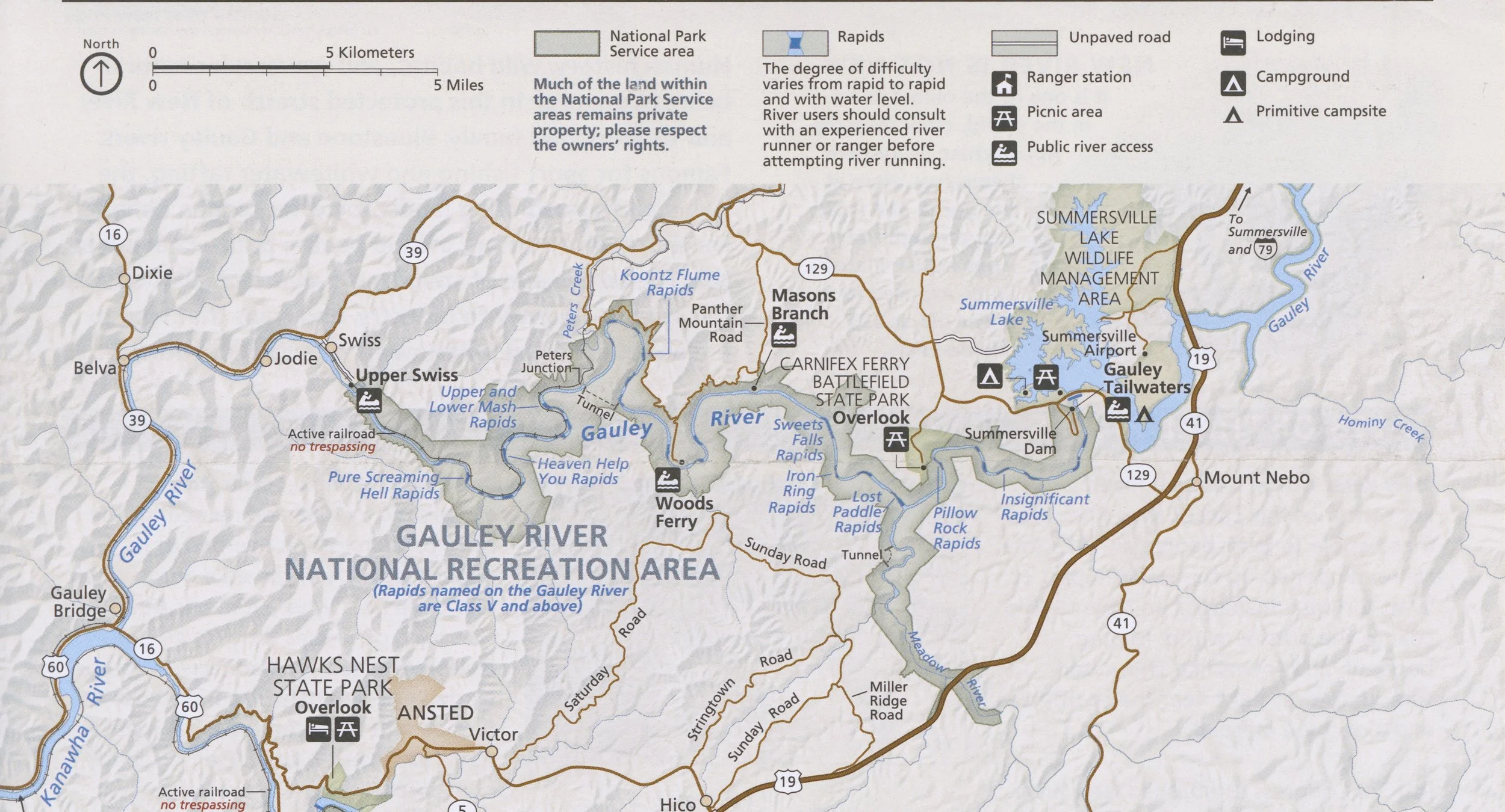
Paul Breuer of Mountain River Tours is credited with making the Gauley River a viable river for the commercial whitewater rafting industry.
1985
Congress added recreation to the list of purposes defined for Summersville Dam maximizing the number of potential days for rafting on the Gauley.
1988
Gauley River National Recreation Area established as part of the National Park Service.
2013
The Gauley Branch of the C&O Railroad was closed to all traffic due to the collapse of bituminous coal usage for power generation (replaced by natural gas).
2020
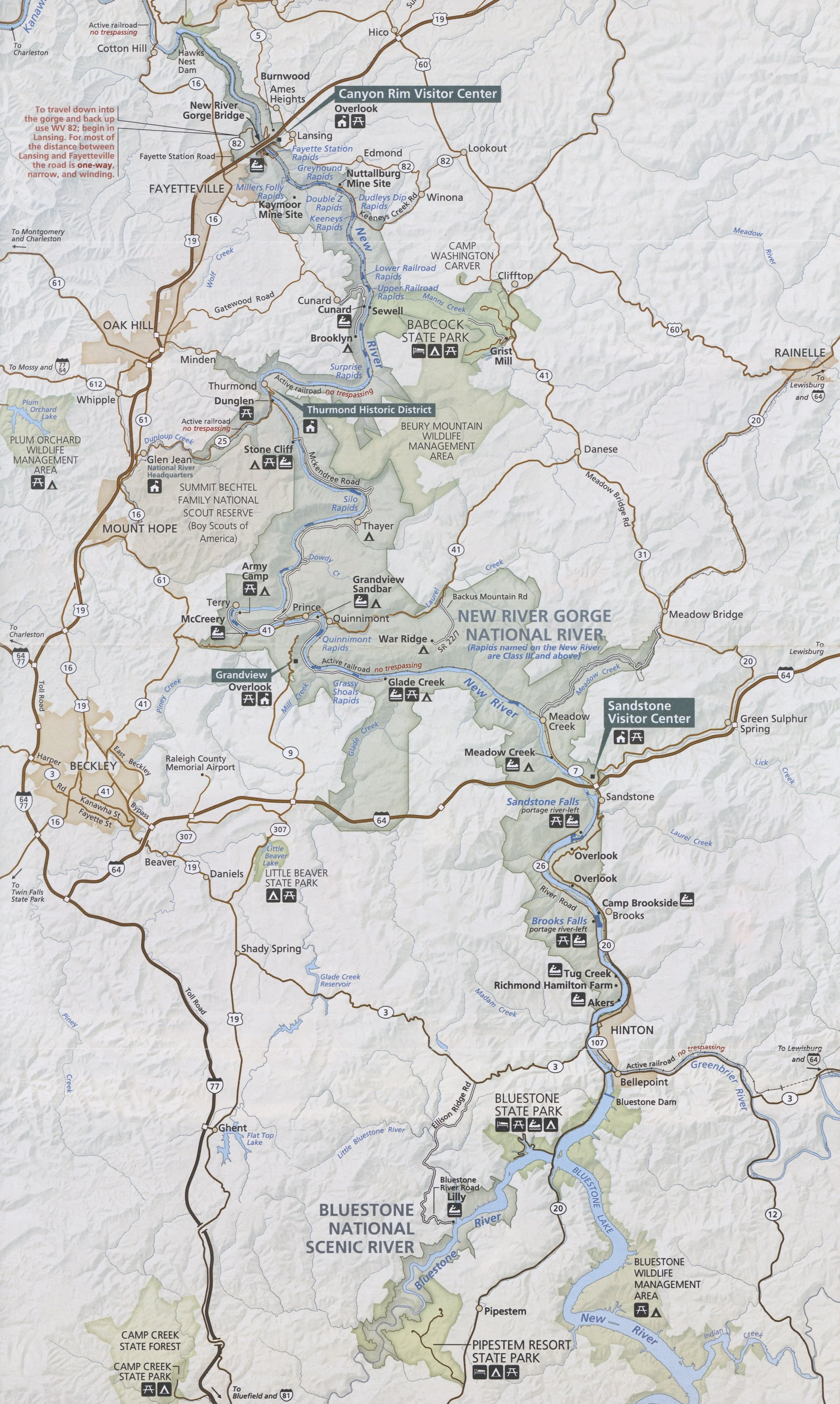
The New River Gorge National Park and Preserve became the latest national park. Established in 1978 as a national river and redesignated in December, 2020, the park and preserve stretches for 53 miles from just downstream of Hinton to Hawks Nest State Park near Ansted.